Strater 4.7

Strater displays your raw data as borehole and well logs and maps
4.4 
Rating
Your vote:
Latest version:
5.7.1094 See all
Developer:
Golden Software, Inc.
Screenshots
1 / 13
Download

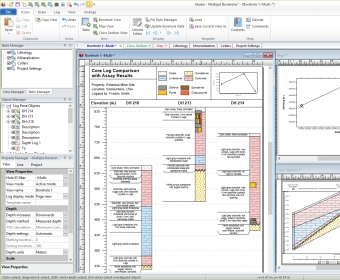
Strater is a powerful and innovative well log, borehole and cross section plotting software package for geoscientists. With its modern and easy-to-use user interface, Strater is so straightforward even a beginner can create high-quality professional representations of subsurface data in no time.

Comments

4.4
Rating
12 votes
5 stars
9
4 stars
0
3 stars
2
2 stars
1
1 stars
0
User

Your vote:

Related software

Concise Beam
Concise Beam
rating

Create precast concrete beams as per design codes.

ShapeBuilder
ShapeBuilder
rating

Get torsion properties, cracked section properties, concrete section capacities.

TopoDrive & ParticleFlow
Free
rating

Two Computer Models for Simulation and Visualization of Groundwater Flow.

CrossSectionMS
CrossSectionMS
rating

Plotts drill holes and sample maps using cross sections.

SubsurfaceViewer Reader
Free
rating

It is a Geological Information System for geological data.